
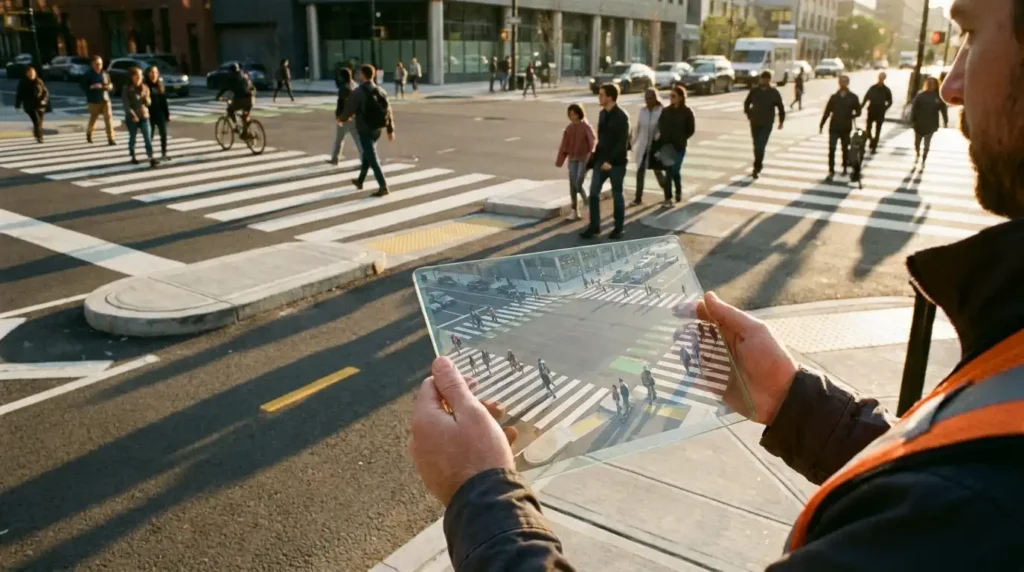
What Are Urban Digital Twins in Transportation Planning?
An urban digital twin is far more than a static 3D architectural rendering or a standard Geographic Information System (GIS) map. It is a dynamic, living virtual model of a physical environment—down to curb heights, tree canopy shadows, crosswalk paint reflectivity, and signal timing—continuously fed by real-world sensor data.
To construct these models, municipalities combine high-resolution LiDAR scans, aerial photogrammetry, Internet of Things (IoT) traffic counters, and anonymized mobile mobility data. According to the U.S. Department of Transportation’s innovation initiatives, integrating real-time spatial data into predictive infrastructure modeling allows agencies to move from static infrastructure management to responsive, safety-first mobility networks.
When applied specifically to vulnerable road users, digital twins simulate how thousands of individual “agents”—representing pedestrians of varying ages, mobility aid users, cyclists, delivery vans, and commuters—interact with physical street geometry under different weather, lighting, and congestion scenarios.
Shifting From Crash History to Predictive Near-Miss Analysis
Traditional road safety audits suffer from a fundamental statistical flaw: serious crashes at a single intersection are relatively rare events, meaning it can take five to ten years of police reports to prove that a corridor is dangerous. By the time enough data exists to justify funding for a protected crosswalk or refuge island, preventable tragedies have already occurred.
Predictive urban modeling solves this bottleneck by focusing on surrogate safety measures—specifically, near-misses and behavioral conflicts. Inside a digital twin, AI algorithms analyze video feeds and trajectory data to detect subtle warning signs that never appear in police crash databases:
- Speed Differentials: Identifying where turning vehicles routinely pass within feet of pedestrians entering a crosswalk.
- Desire Lines and Jaywalking Hotspots: Pinpointing where pedestrians instinctively cross mid-block because official intersections are spaced too far apart.
- Sightline Occlusions: Modeling how parked delivery trucks, utility boxes, or seasonal foliage block a driver’s view of a child stepping off the curb.
- Signal Impatience: Simulating how long pedestrians wait at red lights before risking a crossing against traffic.
This proactive methodology aligns closely with the core principles championed by the Vision Zero Network’s Safe System approach, which recognizes that human error is inevitable and insists that street environments must be engineered to prevent mistakes from resulting in severe injury or death.
Simulating Street Redesigns Before Concrete Is Poured
Once a digital twin identifies a high-risk corridor, engineers can run thousands of “what-if” scenarios in hours rather than spending millions of dollars on physical trial-and-error construction. If a proposed curb extension successfully eliminates turning conflicts in the simulation without causing gridlock on adjacent streets, planners move forward with confidence.
Testing Curb Extensions and Urban Daylighting
One of the most effective ways to protect walkers is daylighting—removing parking spaces near intersections to clear sightlines—paired with concrete curb bulb-outs that shorten crossing distances. Using predictive modeling, cities can test exact curb radii to ensure fire trucks and municipal buses can still make wide turns while forcing passenger vehicles to slow down to safer speeds.
Optimizing Leading Pedestrian Intervals (LPIs)
A Leading Pedestrian Interval gives walkers a three-to-seven-second head start to enter the crosswalk before parallel vehicular traffic receives a green light. Digital twins allow traffic engineers to calibrate LPI timings block-by-block based on actual pedestrian walking speeds—accounting for neighborhoods with higher populations of older adults or school children—rather than relying on outdated one-size-fits-all timing charts.
Evaluating Road Diets and Protected Bike Lanes
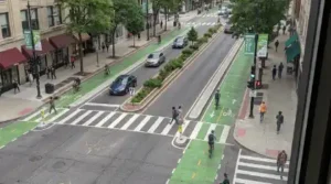 Converting a dangerous four-lane arterial road into a three-lane street with a center turn lane and buffered bike lanes often faces pushback from commuters worried about congestion. By running realistic traffic flow simulations inside a digital twin, city officials can demonstrate empirically how a lane reduction lowers vehicle speeds and cuts pedestrian crash risk while maintaining predictable travel times, echoing design standards outlined in the NACTO Urban Street Design Guide.
Real-World Cities Leading With Predictive Pedestrian Modeling
Digital twins are no longer confined to university research labs; major metropolitan areas are actively deploying them to overhaul dangerous corridors:
- Helsinki, Finland: Widely recognized for achieving zero pedestrian fatalities in recent benchmark years, Helsinki maintains a comprehensive semantic 3D city model that allows urban planners to simulate pedestrian flows, sunlight exposure, and winter snow-clearance impacts on sidewalk accessibility.
- Singapore: Through its Virtual Singapore platform, transport authorities model crowd dispersal around transit hubs and test sheltered walkway networks to keep foot traffic separated from heavy arterial roads.
- Bellevue, Washington: As part of its Vision Zero program, Bellevue partnered with technology researchers to combine high-definition traffic video analytics with 3D intersection modeling, identifying high-risk near-miss patterns across dozens of intersections before physical collisions occurred.
Challenges and Privacy Considerations in Urban Simulation
While predictive urban modeling offers transformative potential for walkability, cities must navigate critical technical and ethical hurdles to deploy it responsibly.
First, algorithmic bias poses a genuine risk if models are trained on incomplete data. If a city relies solely on smartphone location pings to map foot traffic, lower-income residents, children, and elderly pedestrians who are less likely to carry connected devices may be underrepresented in the simulation. Combining computer vision counts with manual field audits ensures that every walker is accounted for.
Second, public privacy must remain non-negotiable. Roadside cameras and LiDAR sensors used to feed digital twins should process trajectory data at the edge—converting human figures into anonymous stick-figure vectors or bounding boxes immediately without storing facial images or license plate numbers.
The Future of Proactive Street Design
Concrete is permanent, expensive to tear up, and unforgiving when poorly designed. By embracing digital twins and predictive urban modeling, cities no longer have to treat street safety as an experiment conducted on live traffic. Simulating pedestrian behavior before the first batch of concrete is mixed empowers planners to build streets where walking is not just a transport choice, but a safe, predictable, and welcoming experience for everyone.